HSLU develops tool to avoid heat islands in the neighborhood
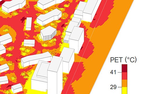
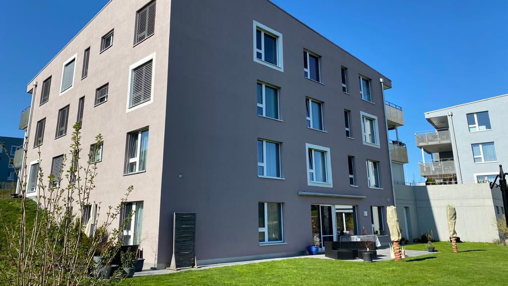
Lucerne University of Applied Sciences and Arts (HSLU) has developed an interactive neighborhood climate model that aims to deliver results in a matter of seconds. It was tested in the Suurstoffi district in Rotkreuz.

In view of climate change, it is becoming increasingly important to avoid heat islands when planning larger districts. The positioning of buildings, the choice of materials for façades and outdoor areas, green spaces and clever shading are decisive factors here - factors that should actually be taken into account at an early planning stage. In practice, however, such models are not used, as the calculations sometimes take several days and are expensive.
The Lucerne University of Applied Sciences and Arts (HSLU) has now presented a new interactive neighborhood climate modeling (QKM). According to the HSLU, it is limited to phase-specific information and delivers results in a matter of seconds. In contrast to existing methods, the HSLU model focuses on the aspect of the neighborhood climate and works with fast-calculating algorithms. It takes seconds or at most a few minutes to calculate the effects of a change. The tool can be used from the first step in the planning process by the planners themselves. For example, it can be used to compare two variants of façade design or the planting of trees in an inner courtyard with little effort.


